Footbridge and cycle route over the River Brit (opened 2011)
Introduction
The photograph on this page of Footbridge and cycle route over the River Brit (opened 2011) by Maurice D Budden as part of the Geograph project.
The Geograph project started in 2005 with the aim of publishing, organising and preserving representative images for every square kilometre of Great Britain, Ireland and the Isle of Man.

There are currently over 7.5m images from over 14,400 individuals and you can help contribute to the project by visiting https://www.geograph.org.uk
Footbridge and cycle route over the River Brit (opened 2011)
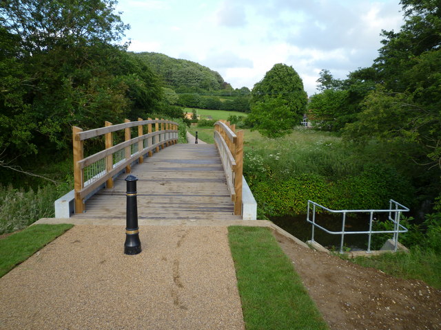
Image: © Maurice D Budden Taken: 18 Jun 2011
Built to link new houses on the western side of the river with schools and houses on the eastern side, the bridge also provides a link to footpaths and a cycle route.
Images are licensed for reuse under creativecommons.org/licenses/by-sa/2.0
Image Location
Latitude
50.741621
Longitude
-2.756464