Whitegate Road
Introduction
The photograph on this page of Whitegate Road by Steve Fareham as part of the Geograph project.
The Geograph project started in 2005 with the aim of publishing, organising and preserving representative images for every square kilometre of Great Britain, Ireland and the Isle of Man.

There are currently over 7.5m images from over 14,400 individuals and you can help contribute to the project by visiting https://www.geograph.org.uk
Whitegate Road
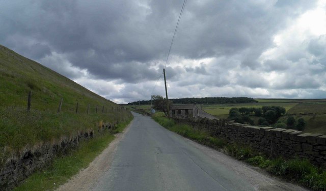
Image: © Steve Fareham Taken: 18 Jun 2011
On the right is Coddy's Farm, award winning Coddy's Farm was established in 2007 and voted Local Food Producer 2009 - 2010.
Images are licensed for reuse under creativecommons.org/licenses/by-sa/2.0
Image Location
Latitude
53.548231
Longitude
-1.807837