Bottesford - footpath from Station Road to church
Introduction
The photograph on this page of Bottesford - footpath from Station Road to church by Dave Bevis as part of the Geograph project.
The Geograph project started in 2005 with the aim of publishing, organising and preserving representative images for every square kilometre of Great Britain, Ireland and the Isle of Man.

There are currently over 7.5m images from over 14,400 individuals and you can help contribute to the project by visiting https://www.geograph.org.uk
Bottesford - footpath from Station Road to church
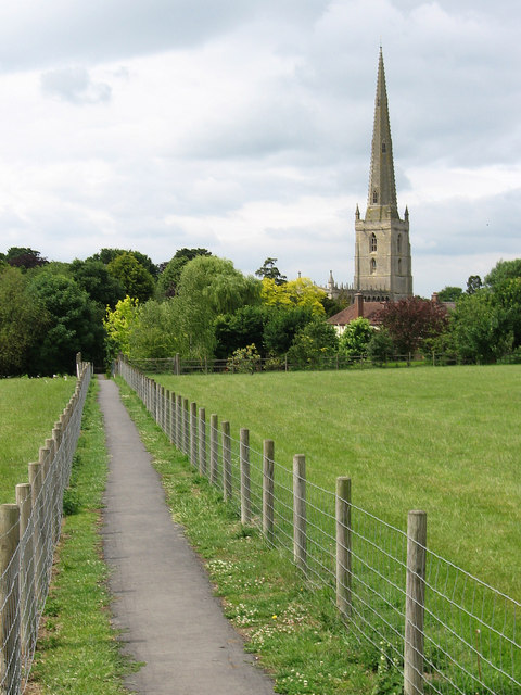
Image: © Dave Bevis Taken: 15 Jun 2011
Contrast Ben Brooksbank's 1963 photo Image
Images are licensed for reuse under creativecommons.org/licenses/by-sa/2.0
Image Location
Latitude
52.944194
Longitude
-0.797831