Farmland and moor
Introduction
The photograph on this page of Farmland and moor by Michael Dibb as part of the Geograph project.
The Geograph project started in 2005 with the aim of publishing, organising and preserving representative images for every square kilometre of Great Britain, Ireland and the Isle of Man.

There are currently over 7.5m images from over 14,400 individuals and you can help contribute to the project by visiting https://www.geograph.org.uk
Farmland and moor
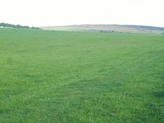
Image: © Michael Dibb Taken: 24 May 2011
Seen from the footpath is this view of the farmland around Stouphill. In the far distance is the MOD Remote Radar Head at Brizlee Wood Image, high on Alnwick Moor. See http://www.raf.mod.uk/rafboulmer/aboutus/radarflt.cfm
Images are licensed for reuse under creativecommons.org/licenses/by-sa/2.0
Image Location
Latitude
55.401036
Longitude
-1.739751