Disused gateway, Lambeg
Introduction
The photograph on this page of Disused gateway, Lambeg by Albert Bridge as part of the Geograph project.
The Geograph project started in 2005 with the aim of publishing, organising and preserving representative images for every square kilometre of Great Britain, Ireland and the Isle of Man.

There are currently over 7.5m images from over 14,400 individuals and you can help contribute to the project by visiting https://www.geograph.org.uk
Disused gateway, Lambeg
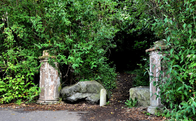
Image: © Albert Bridge Taken: 18 Jun 2011
A disused and overgrown gateway at the Lambeg Road end of Bell’s Lane. It was, I think, the entrance to Aberdelghy http://www.geograph.org.uk/snippet/5280 but now leads to Aberdelghy golf course Image During WWII the house was used as a billet for American soldiers.
Images are licensed for reuse under creativecommons.org/licenses/by-sa/2.0
Image Location
Latitude
54.529193
Longitude
-6.025443