Canford Heath, path junction
Introduction
The photograph on this page of Canford Heath, path junction by Mike Faherty as part of the Geograph project.
The Geograph project started in 2005 with the aim of publishing, organising and preserving representative images for every square kilometre of Great Britain, Ireland and the Isle of Man.

There are currently over 7.5m images from over 14,400 individuals and you can help contribute to the project by visiting https://www.geograph.org.uk
Canford Heath, path junction
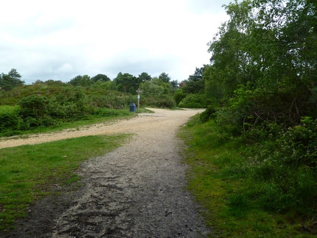
Image: © Mike Faherty Taken: 18 Jun 2011
Looking from Longfleet Drive; left, to Staple Close; ahead to Broadstone; right to Canford Magna and Pilsdon Drive.
Images are licensed for reuse under creativecommons.org/licenses/by-sa/2.0
Image Location
Latitude
50.759181
Longitude
-1.97216