Delves Lane
Introduction
The photograph on this page of Delves Lane by Andrew Hill as part of the Geograph project.
The Geograph project started in 2005 with the aim of publishing, organising and preserving representative images for every square kilometre of Great Britain, Ireland and the Isle of Man.

There are currently over 7.5m images from over 14,400 individuals and you can help contribute to the project by visiting https://www.geograph.org.uk
Delves Lane
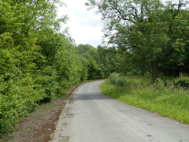
Image: © Andrew Hill Taken: 17 Jun 2011
A dead end lane rather lost between the Rother Valley Country Park and the A618 by the village of Wales.
Images are licensed for reuse under creativecommons.org/licenses/by-sa/2.0
Image Location
Latitude
53.344433
Longitude
-1.312181