International relations
Introduction
The photograph on this page of International relations by Pauline E as part of the Geograph project.
The Geograph project started in 2005 with the aim of publishing, organising and preserving representative images for every square kilometre of Great Britain, Ireland and the Isle of Man.

There are currently over 7.5m images from over 14,400 individuals and you can help contribute to the project by visiting https://www.geograph.org.uk
International relations
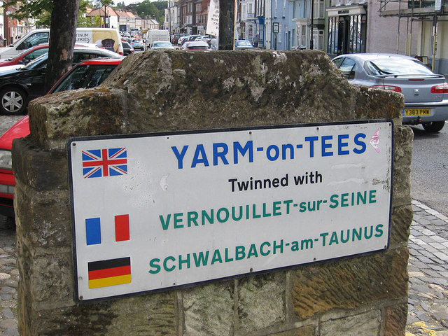
Image: © Pauline E Taken: 16 Jun 2011
Twinned with Vernouillet since 1985 http://en.wikipedia.org/wiki/Vernouillet,_Yvelines http://en.wikipedia.org/wiki/Schwalbach_am_Taunus
Images are licensed for reuse under creativecommons.org/licenses/by-sa/2.0
Image Location
Latitude
54.511131
Longitude
-1.355906