Wheat field, Greenlaw
Introduction
The photograph on this page of Wheat field, Greenlaw by Richard Webb as part of the Geograph project.
The Geograph project started in 2005 with the aim of publishing, organising and preserving representative images for every square kilometre of Great Britain, Ireland and the Isle of Man.

There are currently over 7.5m images from over 14,400 individuals and you can help contribute to the project by visiting https://www.geograph.org.uk
Wheat field, Greenlaw
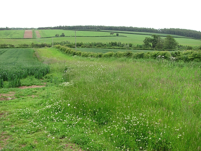
Image: © Richard Webb Taken: 17 Jun 2011
Arable field with a wide unplanted headland running down towards the Blackadder Water.
Images are licensed for reuse under creativecommons.org/licenses/by-sa/2.0
Image Location
Latitude
55.709876
Longitude
-2.44351