
The road to Twinwood
Introduction
The photograph on this page of The road to Twinwood by M J Richardson as part of the Geograph project.
The Geograph project started in 2005 with the aim of publishing, organising and preserving representative images for every square kilometre of Great Britain, Ireland and the Isle of Man.

There are currently over 7.5m images from over 14,400 individuals and you can help contribute to the project by visiting https://www.geograph.org.uk
The road to Twinwood
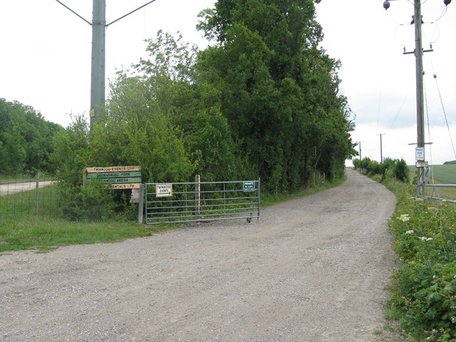
Image: © M J Richardson Taken: 17 Jun 2011
'Private - no public right of way', but the indication is that it leads to various enterprises, including the Twinwood Arena and the Glenn Miller Museum on the site of the old Twinwood Airfield. The 10th Anniversary of the Twinwood Festival will be on 27-29 August 2011 www.twinwoodevents.com and will include various events related to Glenn Miller and his band's use of Twinwood airfield during WWII - the Glenn Miller Festival of Swing, Jazz, Jive and Rock 'n' Roll.
Images are licensed for reuse under creativecommons.org/licenses/by-sa/2.0
Image Location

Latitude
52.178797
Longitude
-0.502809