St Mary's Drive, Pound Hill
Introduction
The photograph on this page of St Mary's Drive, Pound Hill by Colin Bews as part of the Geograph project.
The Geograph project started in 2005 with the aim of publishing, organising and preserving representative images for every square kilometre of Great Britain, Ireland and the Isle of Man.

There are currently over 7.5m images from over 14,400 individuals and you can help contribute to the project by visiting https://www.geograph.org.uk
St Mary's Drive, Pound Hill
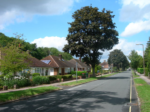
Image: © Colin Bews Taken: 16 Jun 2011
The houses on the left were some of the first to be built in Pound Hill, a suburb of the mainly post-war Crawley "new town".
Images are licensed for reuse under creativecommons.org/licenses/by-sa/2.0
Image Location
Latitude
51.120942
Longitude
-0.159453