Lane above Harper Hill
Introduction
The photograph on this page of Lane above Harper Hill by Andrew Hill as part of the Geograph project.
The Geograph project started in 2005 with the aim of publishing, organising and preserving representative images for every square kilometre of Great Britain, Ireland and the Isle of Man.

There are currently over 7.5m images from over 14,400 individuals and you can help contribute to the project by visiting https://www.geograph.org.uk
Lane above Harper Hill
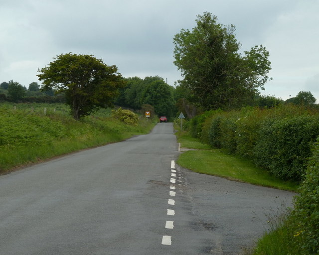
Image: © Andrew Hill Taken: 16 Jun 2011
Looking towards the top of the lane from the turn for High Lane with the signs for the A632 junction in view.
Images are licensed for reuse under creativecommons.org/licenses/by-sa/2.0
Image Location
Latitude
53.206674
Longitude
-1.479981