Combebow
Introduction
The photograph on this page of Combebow by Derek Harper as part of the Geograph project.
The Geograph project started in 2005 with the aim of publishing, organising and preserving representative images for every square kilometre of Great Britain, Ireland and the Isle of Man.

There are currently over 7.5m images from over 14,400 individuals and you can help contribute to the project by visiting https://www.geograph.org.uk
Combebow
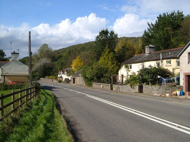
Image: © Derek Harper Taken: 23 Sep 2006
This hamlet is on the former A30 where it crosses the River Lew. In the background is Point Wood on the valley slopes.
Images are licensed for reuse under creativecommons.org/licenses/by-sa/2.0
Image Location


Leaflet Map data © OpenStreetMap
Latitude
50.671757
Longitude
-4.143238