Bend in the Atticall Road
Introduction
The photograph on this page of Bend in the Atticall Road by Eric Jones as part of the Geograph project.
The Geograph project started in 2005 with the aim of publishing, organising and preserving representative images for every square kilometre of Great Britain, Ireland and the Isle of Man.

There are currently over 7.5m images from over 14,400 individuals and you can help contribute to the project by visiting https://www.geograph.org.uk
Bend in the Atticall Road
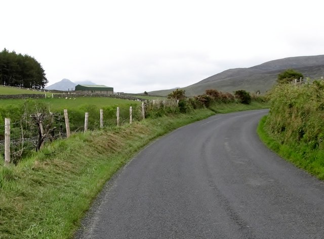
Image: © Eric Jones Taken: 15 Jun 2011
Here the road enters the gap between Crocknafeola Hill and Slievenagore. The Yellow Water River flows in an entrenched valley below the road.
Images are licensed for reuse under creativecommons.org/licenses/by-sa/2.0
Image Location
Latitude
54.124355
Longitude
-6.044138