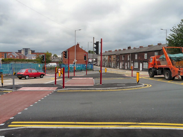
End of Cheetham Hill Road
Introduction
The photograph on this page of End of Cheetham Hill Road by Gerald England as part of the Geograph project.
The Geograph project started in 2005 with the aim of publishing, organising and preserving representative images for every square kilometre of Great Britain, Ireland and the Isle of Man.
There are currently over 7.5m images from over 14,400 individuals and you can help contribute to the project by visiting https://www.geograph.org.uk

Image: © Gerald England Taken: 16 Jun 2011
The junction at the end of Cheetham Hill Road as it meets Birch Lane and Ashton Road has been completely redesigned. Compared with the scene 12 months previously Image the bus stop (which only served the hourly 343 service) has been removed and new pedestrian crossings have been provided. Now that Hyde Mill has been demolished there is a view towards the offices of Findell Education but that view will be obscured once the new housing estate named "Cotton Mills" has been completed. 1990 view: http://oldhyde.blogspot.com/2010/06/up-junction-1990.html

