The Methodist Church graveyard, Grindleton
Introduction
The photograph on this page of The Methodist Church graveyard, Grindleton by Bill Boaden as part of the Geograph project.
The Geograph project started in 2005 with the aim of publishing, organising and preserving representative images for every square kilometre of Great Britain, Ireland and the Isle of Man.

There are currently over 7.5m images from over 14,400 individuals and you can help contribute to the project by visiting https://www.geograph.org.uk
The Methodist Church graveyard, Grindleton
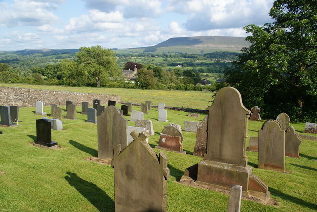
Image: © Bill Boaden Taken: 11 Jun 2011
St Ambrose's Church is down below, and the Ribble Valley beyond it.
Images are licensed for reuse under creativecommons.org/licenses/by-sa/2.0
Image Location
Latitude
53.907971
Longitude
-2.368328