Low Bradfield
Introduction
The photograph on this page of Low Bradfield by Martin Speck as part of the Geograph project.
The Geograph project started in 2005 with the aim of publishing, organising and preserving representative images for every square kilometre of Great Britain, Ireland and the Isle of Man.

There are currently over 7.5m images from over 14,400 individuals and you can help contribute to the project by visiting https://www.geograph.org.uk
Low Bradfield
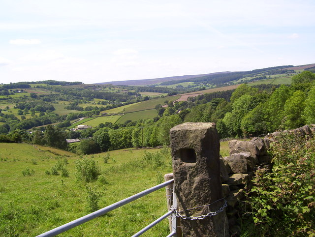
Image: © Martin Speck Taken: 14 Jun 2011
Low Bradfield and Bradfield Dale from Woodfall Lane, High Bradfield. Submitted to the BBC Domesday Reloaded project. The 1986 picture was taken from the adjacent D-Block. http://www.bbc.co.uk/history/domesday/dblock/GB-420000-390000/picture/2 For another BBC Domesday Reloaded project image see Image
Images are licensed for reuse under creativecommons.org/licenses/by-sa/2.0
Image Location
Latitude
53.422856
Longitude
-1.604895