Northern boundary of Penyrheol, Torfaen
Introduction
The photograph on this page of Northern boundary of Penyrheol, Torfaen by Jaggery as part of the Geograph project.
The Geograph project started in 2005 with the aim of publishing, organising and preserving representative images for every square kilometre of Great Britain, Ireland and the Isle of Man.

There are currently over 7.5m images from over 14,400 individuals and you can help contribute to the project by visiting https://www.geograph.org.uk
Northern boundary of Penyrheol, Torfaen
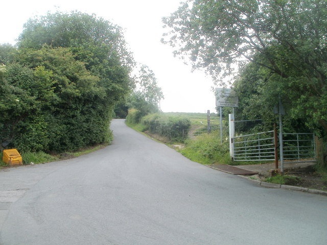
Image: © Jaggery Taken: 13 Jun 2011
Just beyond a 90 degree bend in the road, Cwmynyscoy Road behind the camera becomes Penyrheol Road ahead. The Penyrheol boundary sign is on the right, partly obscured by vegetation. There are several communities named Penyrheol or Pen-yr-heol in Wales. This one is in SE Wales, in Torfaen, between Pontypool and Cwmbran.
Images are licensed for reuse under creativecommons.org/licenses/by-sa/2.0
Image Location
Latitude
51.691416
Longitude
-3.043025