Dungeness Nature Reserve
Introduction
The photograph on this page of Dungeness Nature Reserve by David Anstiss as part of the Geograph project.
The Geograph project started in 2005 with the aim of publishing, organising and preserving representative images for every square kilometre of Great Britain, Ireland and the Isle of Man.

There are currently over 7.5m images from over 14,400 individuals and you can help contribute to the project by visiting https://www.geograph.org.uk
Dungeness Nature Reserve
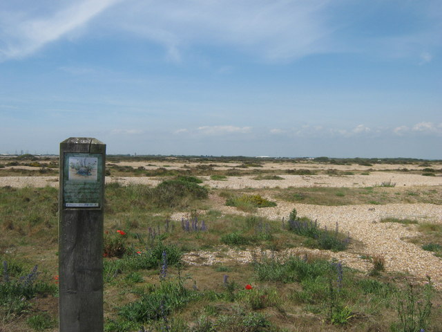
Image: © David Anstiss Taken: 14 Jun 2011
As seen from the end of Hull Road in Lade. The nature reserve occupies the shingle banks between New Romney, Lydd and the coastal villages.
Images are licensed for reuse under creativecommons.org/licenses/by-sa/2.0
Image Location


Leaflet Map data © OpenStreetMap
Latitude
50.949094
Longitude
0.963379