Stone Farm
Introduction
The photograph on this page of Stone Farm by Derek Harper as part of the Geograph project.
The Geograph project started in 2005 with the aim of publishing, organising and preserving representative images for every square kilometre of Great Britain, Ireland and the Isle of Man.

There are currently over 7.5m images from over 14,400 individuals and you can help contribute to the project by visiting https://www.geograph.org.uk
Stone Farm
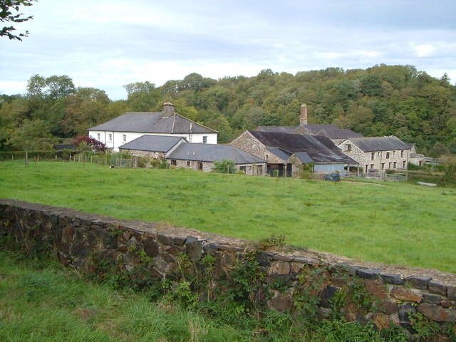
Image: © Derek Harper Taken: 23 Sep 2006
The quarry between these solid-looking farm buildings and the wooded hill behind them now holds a fishing lake.
Images are licensed for reuse under creativecommons.org/licenses/by-sa/2.0
Image Location
Latitude
50.680477
Longitude
-4.118863