New Romney Main Sewer
Introduction
The photograph on this page of New Romney Main Sewer by David Anstiss as part of the Geograph project.
The Geograph project started in 2005 with the aim of publishing, organising and preserving representative images for every square kilometre of Great Britain, Ireland and the Isle of Man.

There are currently over 7.5m images from over 14,400 individuals and you can help contribute to the project by visiting https://www.geograph.org.uk
New Romney Main Sewer
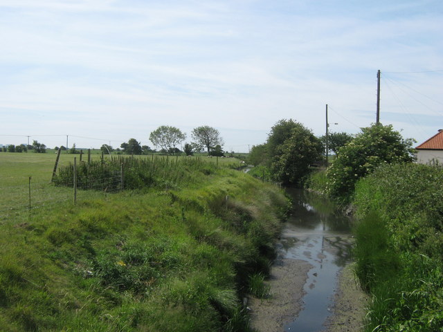
Image: © David Anstiss Taken: 14 Jun 2011
This field drain leads through New Romney towards the Dengemarsh Sewer (another large field drain). As seen from Church Lane.
Images are licensed for reuse under creativecommons.org/licenses/by-sa/2.0
Image Location
Latitude
50.983824
Longitude
0.941652