Railway View Street, Bangor
Introduction
The photograph on this page of Railway View Street, Bangor by Albert Bridge as part of the Geograph project.
The Geograph project started in 2005 with the aim of publishing, organising and preserving representative images for every square kilometre of Great Britain, Ireland and the Isle of Man.

There are currently over 7.5m images from over 14,400 individuals and you can help contribute to the project by visiting https://www.geograph.org.uk
Railway View Street, Bangor
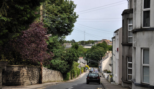
Image: © Albert Bridge Taken: 14 Jun 2011
A steepish street, built over a period from circa 1875 to the early 20th century, dropping from the Manse Road to Dufferin Avenue (hidden to the left in the background). The railway station http://www.geograph.org.uk/search.php?i=22301863 is the bright spot in the trees towards the middle right.
Images are licensed for reuse under creativecommons.org/licenses/by-sa/2.0
Image Location
Latitude
54.659069
Longitude
-5.673842