Misplaced footpath sign at Coombelands
Introduction
The photograph on this page of Misplaced footpath sign at Coombelands by Dave Spicer as part of the Geograph project.
The Geograph project started in 2005 with the aim of publishing, organising and preserving representative images for every square kilometre of Great Britain, Ireland and the Isle of Man.

There are currently over 7.5m images from over 14,400 individuals and you can help contribute to the project by visiting https://www.geograph.org.uk
Misplaced footpath sign at Coombelands
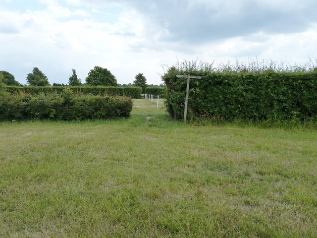
Image: © Dave Spicer Taken: 11 Jun 2011
The post had been pulled from the ground and left leaning against the hedge but should be at 90 degrees.
Images are licensed for reuse under creativecommons.org/licenses/by-sa/2.0
Image Location
Latitude
50.969995
Longitude
-0.502696