A field of cows near Clitheroe
Introduction
The photograph on this page of A field of cows near Clitheroe by Bill Boaden as part of the Geograph project.
The Geograph project started in 2005 with the aim of publishing, organising and preserving representative images for every square kilometre of Great Britain, Ireland and the Isle of Man.

There are currently over 7.5m images from over 14,400 individuals and you can help contribute to the project by visiting https://www.geograph.org.uk
A field of cows near Clitheroe
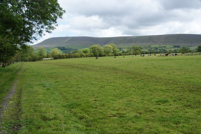
Image: © Bill Boaden Taken: 11 Jun 2011
The path has just left a new housing development and this is the first field out of town. Almost inevitably round here, the backdrop is Pendle.
Images are licensed for reuse under creativecommons.org/licenses/by-sa/2.0
Image Location
Latitude
53.871177
Longitude
-2.379106