Highgate Lane, Dronfield
Introduction
The photograph on this page of Highgate Lane, Dronfield by Andrew Hill as part of the Geograph project.
The Geograph project started in 2005 with the aim of publishing, organising and preserving representative images for every square kilometre of Great Britain, Ireland and the Isle of Man.

There are currently over 7.5m images from over 14,400 individuals and you can help contribute to the project by visiting https://www.geograph.org.uk
Highgate Lane, Dronfield
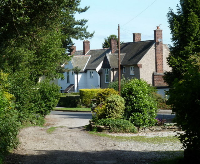
Image: © Andrew Hill Taken: 14 Jun 2011
Some of the highest houses in this corner of Dronfield as the track from Ouzel Bank Farm becomes a road.
Images are licensed for reuse under creativecommons.org/licenses/by-sa/2.0
Image Location
Latitude
53.291622
Longitude
-1.460348