Barn House Lane Pulborough
Introduction
The photograph on this page of Barn House Lane Pulborough by Dave Spicer as part of the Geograph project.
The Geograph project started in 2005 with the aim of publishing, organising and preserving representative images for every square kilometre of Great Britain, Ireland and the Isle of Man.

There are currently over 7.5m images from over 14,400 individuals and you can help contribute to the project by visiting https://www.geograph.org.uk
Barn House Lane Pulborough
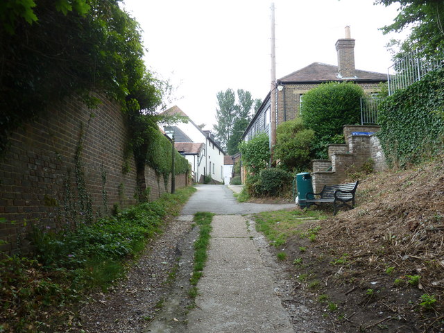
Image: © Dave Spicer Taken: 11 Jun 2011
Barn House Lane is a footpath that leads down to flood plain below Pulborough
Images are licensed for reuse under creativecommons.org/licenses/by-sa/2.0
Image Location
Latitude
50.957036
Longitude
-0.501973