Cattle grazing near Wintertarn
Introduction
The photograph on this page of Cattle grazing near Wintertarn by Karl and Ali as part of the Geograph project.
The Geograph project started in 2005 with the aim of publishing, organising and preserving representative images for every square kilometre of Great Britain, Ireland and the Isle of Man.

There are currently over 7.5m images from over 14,400 individuals and you can help contribute to the project by visiting https://www.geograph.org.uk
Cattle grazing near Wintertarn
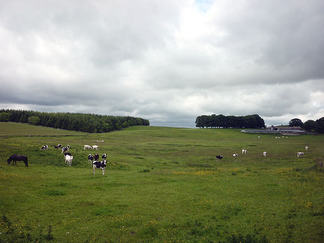
Image: © Karl and Ali Taken: 13 Jun 2011
Wintertarn farm on the right and High Keverigg plantation on the left.
Images are licensed for reuse under creativecommons.org/licenses/by-sa/2.0
Image Location
Latitude
54.543718
Longitude
-2.650261