Path down to Lomeshaye
Introduction
The photograph on this page of Path down to Lomeshaye by Bill Boaden as part of the Geograph project.
The Geograph project started in 2005 with the aim of publishing, organising and preserving representative images for every square kilometre of Great Britain, Ireland and the Isle of Man.

There are currently over 7.5m images from over 14,400 individuals and you can help contribute to the project by visiting https://www.geograph.org.uk
Path down to Lomeshaye
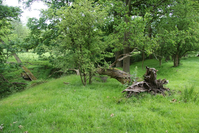
Image: © Bill Boaden Taken: 4 Jun 2011
You can't see the path just here, but it follows the line of the clough.
Images are licensed for reuse under creativecommons.org/licenses/by-sa/2.0
Image Location
Latitude
53.839004
Longitude
-2.23779