Rhydymwyn nature reserve
Introduction
The photograph on this page of Rhydymwyn nature reserve by Jonathan Wilkins as part of the Geograph project.
The Geograph project started in 2005 with the aim of publishing, organising and preserving representative images for every square kilometre of Great Britain, Ireland and the Isle of Man.

There are currently over 7.5m images from over 14,400 individuals and you can help contribute to the project by visiting https://www.geograph.org.uk
Rhydymwyn nature reserve
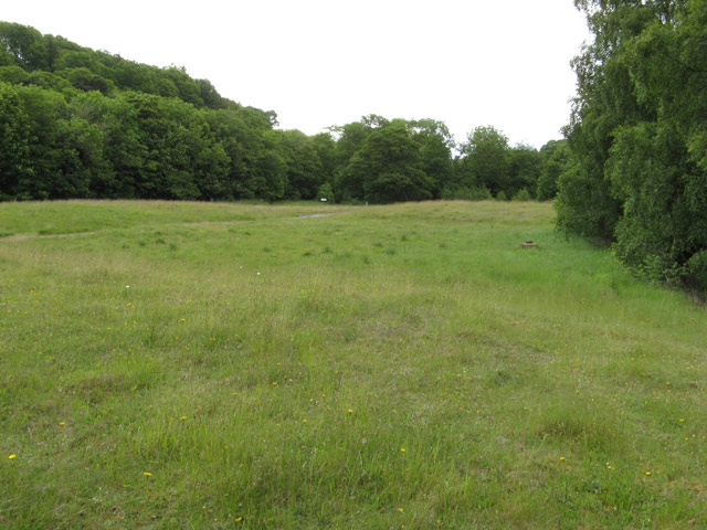
Image: © Jonathan Wilkins Taken: 11 Jun 2011
The site of the secret wartime facility has been kept free of interference for so long that it is now maintained as a nature reserve. The River Alyn used to meander across the site between the wooded slopes, but was taken into a culvert at the south-western edge and the floor of the valley levelled by taking the spoil from the creation of a series of huge underground storage levels. The suspicious contours remain from this time but grass has taken over the spoil.
Images are licensed for reuse under creativecommons.org/licenses/by-sa/2.0
Image Location
Latitude
53.180388
Longitude
-3.179951