The Twisted Oak, Ide
Introduction
The photograph on this page of The Twisted Oak, Ide by Chris Allen as part of the Geograph project.
The Geograph project started in 2005 with the aim of publishing, organising and preserving representative images for every square kilometre of Great Britain, Ireland and the Isle of Man.

There are currently over 7.5m images from over 14,400 individuals and you can help contribute to the project by visiting https://www.geograph.org.uk
The Twisted Oak, Ide
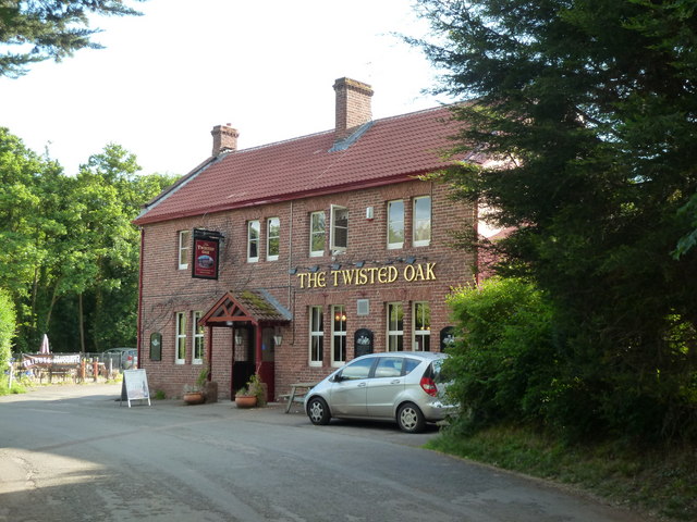
Image: © Chris Allen Taken: 7 Jun 2011
This public house has been separated from the village by the A30 and there is a foot bridge from the village to the public house.
Images are licensed for reuse under creativecommons.org/licenses/by-sa/2.0
Image Location
Latitude
50.706341
Longitude
-3.556766