Derby canal at Sandiacre
Introduction
The photograph on this page of Derby canal at Sandiacre by Trevor Rickard as part of the Geograph project.
The Geograph project started in 2005 with the aim of publishing, organising and preserving representative images for every square kilometre of Great Britain, Ireland and the Isle of Man.

There are currently over 7.5m images from over 14,400 individuals and you can help contribute to the project by visiting https://www.geograph.org.uk
Derby canal at Sandiacre
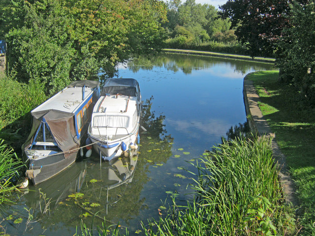
Image: © Trevor Rickard Taken: 18 Sep 2010
Looking east to the junction with the Erewash Canal. The 14-mile Derby Canal was opened in 1798 and has two legs, the eastern one ending here and the southern one leading to the River Trent. At its peak in the 1830s it carried over 200 thousand tons of cargo per year (mainly coal), but trade declined once the railways got established.
Images are licensed for reuse under creativecommons.org/licenses/by-sa/2.0
Image Location
Latitude
52.917377
Longitude
-1.284758