Skirsgill Lane Penrith
Introduction
The photograph on this page of Skirsgill Lane Penrith by Rod Allday as part of the Geograph project.
The Geograph project started in 2005 with the aim of publishing, organising and preserving representative images for every square kilometre of Great Britain, Ireland and the Isle of Man.

There are currently over 7.5m images from over 14,400 individuals and you can help contribute to the project by visiting https://www.geograph.org.uk
Skirsgill Lane Penrith
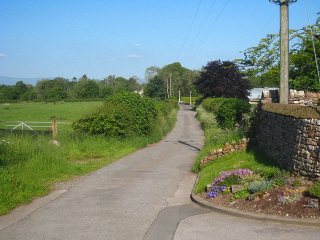
Image: © Rod Allday Taken: 3 Jun 2011
This quiet country lane to the south of the town used to lead to Skirsgill Hall but is now a dead end, cut off by the M6, which runs to the right of the picture.
Images are licensed for reuse under creativecommons.org/licenses/by-sa/2.0
Image Location
Latitude
54.650788
Longitude
-2.752708