Manhole cover, Bangor
Introduction
The photograph on this page of Manhole cover, Bangor by Rossographer as part of the Geograph project.
The Geograph project started in 2005 with the aim of publishing, organising and preserving representative images for every square kilometre of Great Britain, Ireland and the Isle of Man.

There are currently over 7.5m images from over 14,400 individuals and you can help contribute to the project by visiting https://www.geograph.org.uk
Manhole cover, Bangor
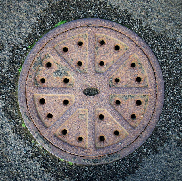
Image: © Rossographer Taken: 11 Jun 2011
Manhole cover located on the North Down Coastal Path near Brompton Road in Bangor. No names or markings on this example, although it is clearly quite old.
Images are licensed for reuse under creativecommons.org/licenses/by-sa/2.0
Image Location
Latitude
54.667531
Longitude
-5.684055