Black Country Route on the Lunt in Bilston
Introduction
The photograph on this page of Black Country Route on the Lunt in Bilston by John M as part of the Geograph project.
The Geograph project started in 2005 with the aim of publishing, organising and preserving representative images for every square kilometre of Great Britain, Ireland and the Isle of Man.

There are currently over 7.5m images from over 14,400 individuals and you can help contribute to the project by visiting https://www.geograph.org.uk
Black Country Route on the Lunt in Bilston
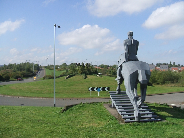
Image: © John M Taken: 23 Sep 2006
This major road has opened up the central area of the Black Country for redevelopment.
Images are licensed for reuse under creativecommons.org/licenses/by-sa/2.0
Image Location
Latitude
52.569012
Longitude
-2.054546