2011 : Bodden Lane, west of Bodden
Introduction
The photograph on this page of 2011 : Bodden Lane, west of Bodden by Maurice Pullin as part of the Geograph project.
The Geograph project started in 2005 with the aim of publishing, organising and preserving representative images for every square kilometre of Great Britain, Ireland and the Isle of Man.

There are currently over 7.5m images from over 14,400 individuals and you can help contribute to the project by visiting https://www.geograph.org.uk
2011 : Bodden Lane, west of Bodden
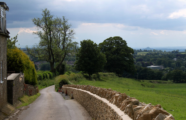
Image: © Maurice Pullin Taken: 11 Jun 2011
Down the hill to Charlton and Shepton Mallet, bits of which can be seen through the trees. In the distance to the right Glastonbury Tor stands, Image looking like an old fashioned sugar loaf with a candle on top.
Images are licensed for reuse under creativecommons.org/licenses/by-sa/2.0
Image Location
Latitude
51.193339
Longitude
-2.52099