Horse operation above the River Dee floodplain
Introduction
The photograph on this page of Horse operation above the River Dee floodplain by C Michael Hogan as part of the Geograph project.
The Geograph project started in 2005 with the aim of publishing, organising and preserving representative images for every square kilometre of Great Britain, Ireland and the Isle of Man.

There are currently over 7.5m images from over 14,400 individuals and you can help contribute to the project by visiting https://www.geograph.org.uk
Horse operation above the River Dee floodplain
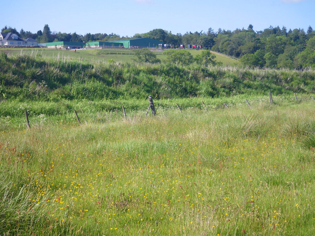
Image: © C Michael Hogan Taken: 12 Jun 2011
Photographer is standing in an expansive meadow that is effectively the floodplain of the River Dee. Very slightly to the west is a wetland dominated by juncus spp.
Images are licensed for reuse under creativecommons.org/licenses/by-sa/2.0
Image Location
Latitude
57.102022
Longitude
-2.223642