Queen Alexandra Bridge, Sunderland
Introduction
The photograph on this page of Queen Alexandra Bridge, Sunderland by Alexander P Kapp as part of the Geograph project.
The Geograph project started in 2005 with the aim of publishing, organising and preserving representative images for every square kilometre of Great Britain, Ireland and the Isle of Man.

There are currently over 7.5m images from over 14,400 individuals and you can help contribute to the project by visiting https://www.geograph.org.uk
Queen Alexandra Bridge, Sunderland
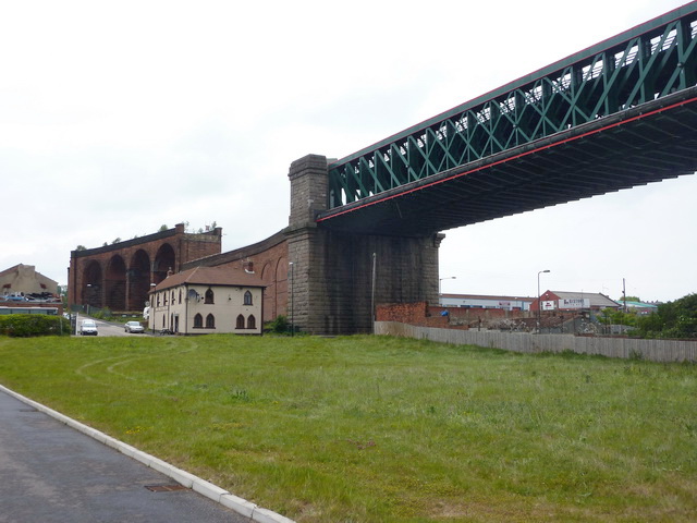
Image: © Alexander P Kapp Taken: 26 May 2011
The red sandstone structure in the background is all of what remains of the viaduct which carried coal from mines north of the river. The building is The Times Inn
Images are licensed for reuse under creativecommons.org/licenses/by-sa/2.0
Image Location
Latitude
54.914894
Longitude
-1.406415