Garden and field at Cridling Stubbs
Introduction
The photograph on this page of Garden and field at Cridling Stubbs by James Gibb as part of the Geograph project.
The Geograph project started in 2005 with the aim of publishing, organising and preserving representative images for every square kilometre of Great Britain, Ireland and the Isle of Man.

There are currently over 7.5m images from over 14,400 individuals and you can help contribute to the project by visiting https://www.geograph.org.uk
Garden and field at Cridling Stubbs
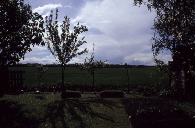
Image: © James Gibb Taken: Unknown
Possibly one of England's strangest place names, the village expanded into the fields when a row of council houses were built in the 1950's
Images are licensed for reuse under creativecommons.org/licenses/by-sa/2.0
Image Location


Leaflet Map data © OpenStreetMap
Latitude
53.685585
Longitude
-1.215635