Glenmachan Place, Belfast
Introduction
The photograph on this page of Glenmachan Place, Belfast by Albert Bridge as part of the Geograph project.
The Geograph project started in 2005 with the aim of publishing, organising and preserving representative images for every square kilometre of Great Britain, Ireland and the Isle of Man.

There are currently over 7.5m images from over 14,400 individuals and you can help contribute to the project by visiting https://www.geograph.org.uk
Glenmachan Place, Belfast
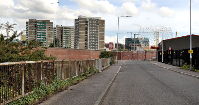
Image: © Albert Bridge Taken: 12 Jun 2011
Part of a commercial area, near the end of the Boucher Road, between Glenmachan Street and the M1. The view is towards Broadway with Broadway Towers Image and “The Rise” http://www.geograph.org.uk/snippet/5211 in the background. The street extends further to the north east than shown on the Google map – see the hybrid satellite photograph. The Blackstaff River is behind the fence on the left.
Images are licensed for reuse under creativecommons.org/licenses/by-sa/2.0
Image Location
Latitude
54.587219
Longitude
-5.959516