Monken Pyn (2)
Introduction
The photograph on this page of Monken Pyn (2) by Simon Carey as part of the Geograph project.
The Geograph project started in 2005 with the aim of publishing, organising and preserving representative images for every square kilometre of Great Britain, Ireland and the Isle of Man.

There are currently over 7.5m images from over 14,400 individuals and you can help contribute to the project by visiting https://www.geograph.org.uk
Monken Pyn (2)
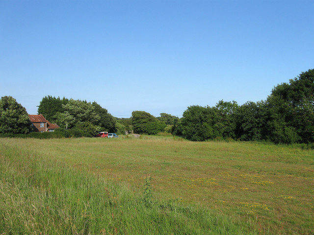
Image: © Simon Carey Taken: 11 Jun 2011
See Image for explanation of the name. The triangular green straddles Thornwell Road with this part being the eastern section with Honeysuckle Cottage to the left. Warren Farm lies beyond the trees to the right.
Images are licensed for reuse under creativecommons.org/licenses/by-sa/2.0
Image Location
Latitude
50.832208
Longitude
0.201669