Blair Avenue, Kingsbury
Introduction
The photograph on this page of Blair Avenue, Kingsbury by David Howard as part of the Geograph project.
The Geograph project started in 2005 with the aim of publishing, organising and preserving representative images for every square kilometre of Great Britain, Ireland and the Isle of Man.

There are currently over 7.5m images from over 14,400 individuals and you can help contribute to the project by visiting https://www.geograph.org.uk
Blair Avenue, Kingsbury
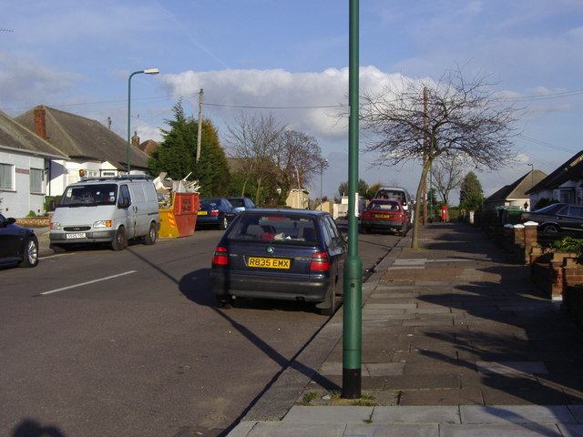
Image: © David Howard Taken: 17 Feb 2006
Originally built to bypass the winding Cool Oak Lane, by the time the estate were built the council changed their mind and left a wide straight road that led nowhere. It extended a few yards across Kinloch Drive at the end where the extension began and was given to the houses either side of it to use as part of their gardens.
Images are licensed for reuse under creativecommons.org/licenses/by-sa/2.0
Image Location
Latitude
51.573813
Longitude
-0.253491