Harrow Weald Common
Introduction
The photograph on this page of Harrow Weald Common by Nigel Cox as part of the Geograph project.
The Geograph project started in 2005 with the aim of publishing, organising and preserving representative images for every square kilometre of Great Britain, Ireland and the Isle of Man.

There are currently over 7.5m images from over 14,400 individuals and you can help contribute to the project by visiting https://www.geograph.org.uk
Harrow Weald Common
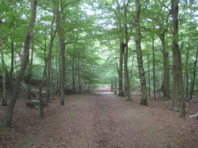
Image: © Nigel Cox Taken: 5 Jun 2011
Harrow Weald Common has generally shrunk in size over the years to the present day approximate 18 hectares or about 45 acres. Up to Victorian times commoners' rights included the extraction of gravel which was used in construction work in Harrow, pannage or the right to pasture pigs particularly where acorns were present, and turbary or the right to cut peat for fuel. However in 1899, in order to better conserve the remaining parts of the common the land was placed under the protection of the Metropolitan Commons (Harrow Weald) Supplemental Act. Most of the commoners' rights were removed under the terms of the Act and a Board of Conservators was set up to manage the common. The Board, whose members are unpaid, exists to this day. This is one of the main routes across the common, looking down towards Grim's Dyke.
Images are licensed for reuse under creativecommons.org/licenses/by-sa/2.0
Image Location
Latitude
51.623982
Longitude
-0.346048