Thornwell Road
Introduction
The photograph on this page of Thornwell Road by Simon Carey as part of the Geograph project.
The Geograph project started in 2005 with the aim of publishing, organising and preserving representative images for every square kilometre of Great Britain, Ireland and the Isle of Man.

There are currently over 7.5m images from over 14,400 individuals and you can help contribute to the project by visiting https://www.geograph.org.uk
Thornwell Road
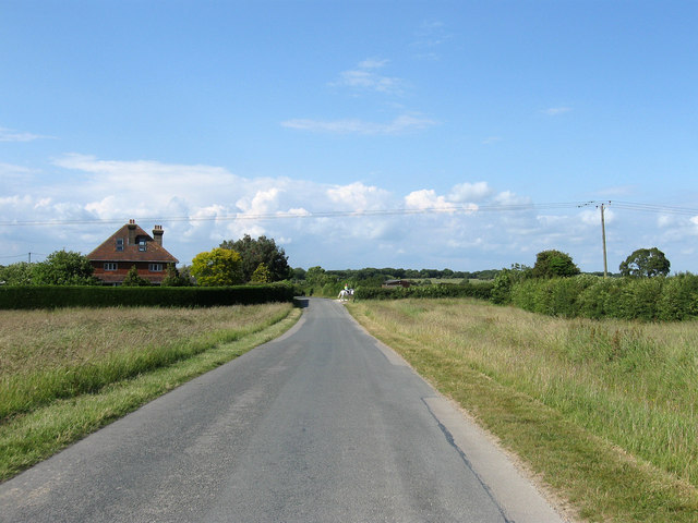
Image: © Simon Carey Taken: 11 Jun 2011
Heading north from the A27 and the village of Wilmington towards Arlington and Upper Dicker. An old droving route that connected the village with wood pastures to the north of the parish. The Home Farm is the building at the northern end of Wilmington Green which dates from the 1930s.
Images are licensed for reuse under creativecommons.org/licenses/by-sa/2.0
Image Location
Latitude
50.82528
Longitude
0.197083