Foots Cray War memorial
Introduction
The photograph on this page of Foots Cray War memorial by Marathon as part of the Geograph project.
The Geograph project started in 2005 with the aim of publishing, organising and preserving representative images for every square kilometre of Great Britain, Ireland and the Isle of Man.

There are currently over 7.5m images from over 14,400 individuals and you can help contribute to the project by visiting https://www.geograph.org.uk
Foots Cray War memorial
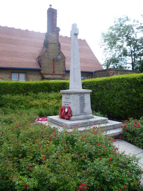
Image: © Marathon Taken: 7 Jun 2011
The war memorial is in a small garden in Rectory Lane, immediately to the south of the former Harenc School, which can be seen behind it here.
Images are licensed for reuse under creativecommons.org/licenses/by-sa/2.0
Image Location
Latitude
51.419118
Longitude
0.118866