Rhyl - 1980
Introduction
The photograph on this page of Rhyl - 1980 by Helmut Zozmann as part of the Geograph project.
The Geograph project started in 2005 with the aim of publishing, organising and preserving representative images for every square kilometre of Great Britain, Ireland and the Isle of Man.

There are currently over 7.5m images from over 14,400 individuals and you can help contribute to the project by visiting https://www.geograph.org.uk
Rhyl - 1980
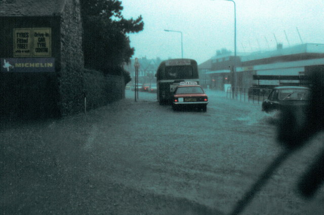
Image: © Helmut Zozmann Taken: Unknown
Rhyl, A525 Vale Road, flooded during the heavy rain.
Images are licensed for reuse under creativecommons.org/licenses/by-sa/2.0
Image Location
Latitude
53.315421
Longitude
-3.477292