Bacup: Cutler Lane
Introduction
The photograph on this page of Bacup: Cutler Lane by Dr Neil Clifton as part of the Geograph project.
The Geograph project started in 2005 with the aim of publishing, organising and preserving representative images for every square kilometre of Great Britain, Ireland and the Isle of Man.

There are currently over 7.5m images from over 14,400 individuals and you can help contribute to the project by visiting https://www.geograph.org.uk
Bacup: Cutler Lane
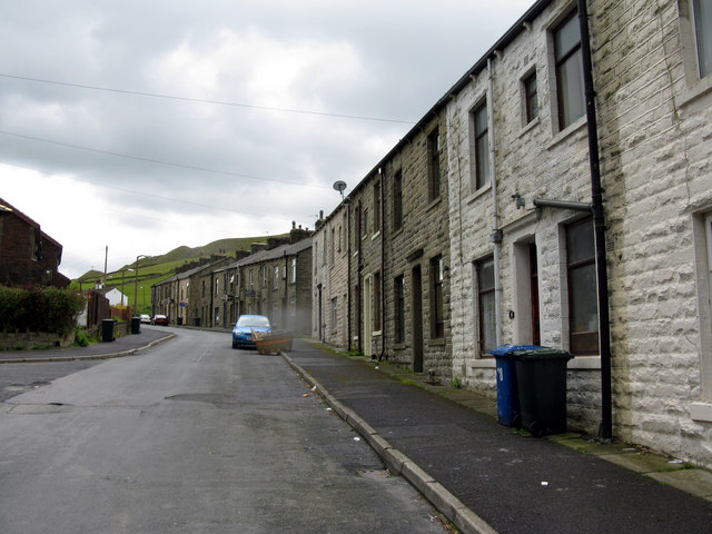
Image: © Dr Neil Clifton Taken: 8 Jun 2011
These are back-to-back houses on the west side of Cutler Lane, while on the east side there are modern houses.
Images are licensed for reuse under creativecommons.org/licenses/by-sa/2.0
Image Location
Latitude
53.688763
Longitude
-2.217257