Swinhoe Farm buildings
Introduction
The photograph on this page of Swinhoe Farm buildings by Graham Robson as part of the Geograph project.
The Geograph project started in 2005 with the aim of publishing, organising and preserving representative images for every square kilometre of Great Britain, Ireland and the Isle of Man.

There are currently over 7.5m images from over 14,400 individuals and you can help contribute to the project by visiting https://www.geograph.org.uk
Swinhoe Farm buildings
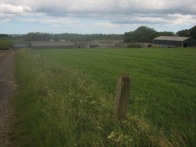
Image: © Graham Robson Taken: 9 Jun 2011
Looking across a field of spring sown crop towards Swinhoe farm buildings. The roofs of the derelict looking buildings in the middle of the shot collapsed during the period of heavy snow during November and December 2010.
Images are licensed for reuse under creativecommons.org/licenses/by-sa/2.0
Image Location
Latitude
55.608356
Longitude
-1.868542