The Wheatsheaf, Wolverhampton Road
Introduction
The photograph on this page of The Wheatsheaf, Wolverhampton Road by Mick Malpass as part of the Geograph project.
The Geograph project started in 2005 with the aim of publishing, organising and preserving representative images for every square kilometre of Great Britain, Ireland and the Isle of Man.

There are currently over 7.5m images from over 14,400 individuals and you can help contribute to the project by visiting https://www.geograph.org.uk
The Wheatsheaf, Wolverhampton Road
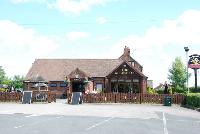
Image: © Mick Malpass Taken: 11 Jun 2011
This part of the Wolverhampton road was the main road from Cannock to Wolverhampton until it was bypassed when the M6 Toll road and dual carriageway were built, and now it is only a dead end road.
Images are licensed for reuse under creativecommons.org/licenses/by-sa/2.0
Image Location
Latitude
52.662413
Longitude
-2.060725