Green lane beside Longbeech Wood
Introduction
The photograph on this page of Green lane beside Longbeech Wood by Penny Mayes as part of the Geograph project.
The Geograph project started in 2005 with the aim of publishing, organising and preserving representative images for every square kilometre of Great Britain, Ireland and the Isle of Man.

There are currently over 7.5m images from over 14,400 individuals and you can help contribute to the project by visiting https://www.geograph.org.uk
Green lane beside Longbeech Wood
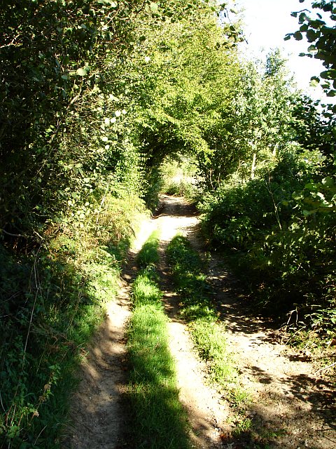
Image: © Penny Mayes Taken: 20 Sep 2006
Longbeech Wood is a huge area of woodland on top of the North Downs above Charing, classified by the Forestry Commission as a plantation on an Ancient Woodland Site, it comprises a mixture of species including Sweet Chestnut, Norway Spruce, Corsican Pine and Japanese larch. Planting took place between 1957 and 1989. There are no rights of way though this privately owned woodland. The green lane also skirts Kent Gliding Club.
Images are licensed for reuse under creativecommons.org/licenses/by-sa/2.0
Image Location


Leaflet Map data © OpenStreetMap
Latitude
51.212308
Longitude
0.827746