Oilseed Rape
Introduction
The photograph on this page of Oilseed Rape by Anne Burgess as part of the Geograph project.
The Geograph project started in 2005 with the aim of publishing, organising and preserving representative images for every square kilometre of Great Britain, Ireland and the Isle of Man.

There are currently over 7.5m images from over 14,400 individuals and you can help contribute to the project by visiting https://www.geograph.org.uk
Oilseed Rape
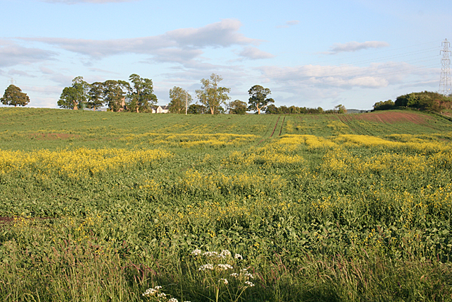
Image: © Anne Burgess Taken: 9 Jun 2011
The crop seems to be flowering very unevenly, perhaps because after a fine April some parts of the field remain dry. The buildings on the skyline are at Inshoch.
Images are licensed for reuse under creativecommons.org/licenses/by-sa/2.0
Image Location


Leaflet Map data © OpenStreetMap
Latitude
57.590476
Longitude
-3.785862